|
|
|
)
Click Buttons for Map & Poster |
About Concept Mapping:
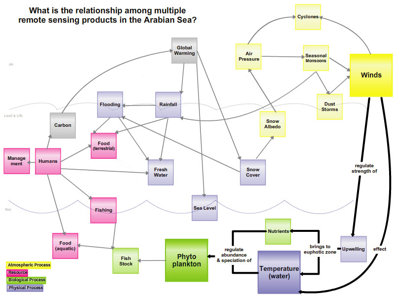
Concept maps are graphical tools that highlight fundamental concepts and the types of connections between concepts within complex systems. Educators can use concept maps to assess how students develop understanding. For example, students and educators can modify maps to reflect changes in the scope and depth of their understanding. The concept map on this page was created using the COSEE-OS Concept Map Builder.
About this Student:
Carrie Armbrecht is a graduate student in the School of Marine Sciences at the University of Maine. She is working towards dual masters in Oceanography and Marine Policy (with a focus in education and outreach). She has a B.A. in Psychology from Wellesley College. Her integrated thesis work with Dr. Fei Chai and Annette deCharon examines climate change in the Arabian Sea region. She is looking at atmospheric and oceanic processes; social responses; and communication and education techniques related to climate change. [more]


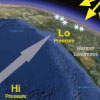
 causes an increased air pressure gradient (yellow). This gradient leads to stronger summer monsoonal winds (grey arrows). As a result upwelling (blue arrows) is stronger and there is more phytoplankton (green).','Figure 1'))
)
 during the<br />summer monsoons increased. It is predicted to continue increasing.','Figure 3'))
)
 during the summer monsoons increased. It is predicted to continue increasing.','Figure 3'))
)
)