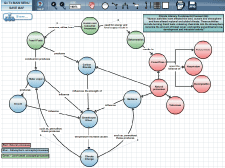
Concept maps are designed to help teachers and their students understand the connections and relationships between climate and oceanography. For scientists, concept mapping helps them share their understanding of connections in the earth system. For educators, concept maps can be powerful tools for exposing and clarifying topics in the classroom. The COSEE-OS Concept Map Builder (CMB) is a web-based tool where users can create customized concept maps linked to videos, images, news, and resources. The resulting maps can be printed, downloaded as an image, share via email, exported as XML data or stored in our database for reuse or sharing with colleagues, students, and peers. More than 2,700 concept maps have now been made with the CMB (view a subset of these maps on the topics of climate change and modeling from the menu at left). The CMB, when used in conjunction with our Ocean Climate Interactive, is part of the COSEE-OS suite of ocean-climate multimedia known as the Concept Linked Integrated Media Builder (CLIMB). Please see our tutorials to learn how to use the CMB or log onto CLIMB to begin making your own concept maps.
|