|
| SEARCH | AQUARIUS SOFTWARE TRAINING | ||||||||||||
|
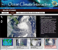
Our online software consists of two interconnected tools - the Ocean Climate Interactive (OCI) and Concept Map Builder (CMB). The webinar on March 16th covered the use of these two tools. Below are clips from the webinar demonstrating some of the tool functions. Both tools be accessed from http://cosee.umaine.edu/tools.
To view the maps from the Aquarius education project, you can login using:
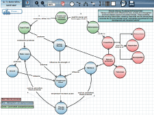
The Concept Map Builder is the tool used to create the concept maps you have been seeing in these webinars. It is a workspace with tools that allows you to create, modify, save and share concept maps. This is also where the interactive "assets" are attached to maps, as they connect to the collection of educational materials available in the OCI database.
The Concept Map Builder workspace and basic functions:
Adding assets to your concept map:
Sharing concept maps:
We encourage you to make an account for yourself to "try out" these tools. As always, if you have any questions, please contact Carla at carla.companion@maine.edu For full tutorials on both tools, see our tutorials page: http://cosee.umaine.edu/tools/tutorials. |
|
|||||||


